The most beautiful villages of Ariège
The most beautiful villages of Ariège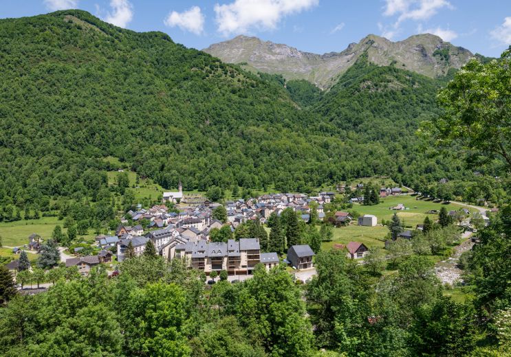
20,7 km - Aulus-les-Bains
Culture and Heritage
Location : À la montagne
Province : Ariège - Couserans

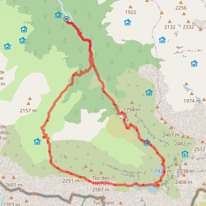
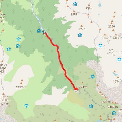
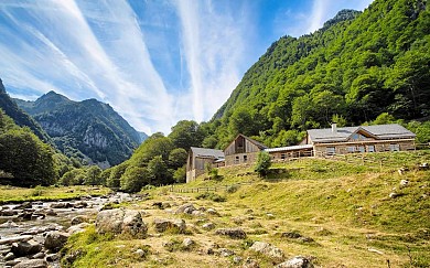
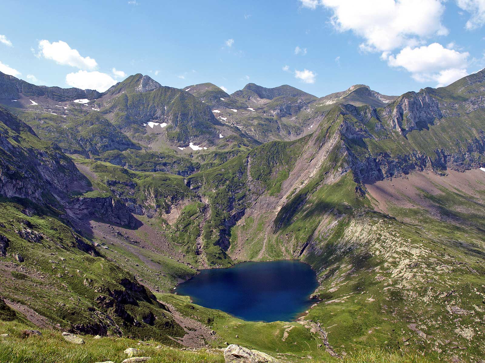
Fantastic hike! We did it in the middle of summer (I'd even say in the blazing sun, 30°C and not a single patch of shade on the trail, unfortunately). We did it over two days (two young people in their twenties and two older people in their fifties) with an overnight stay at the Estagnous refuge (a superb refuge, one of the best in France, both for comfort and service). There's about 1350m of elevation gain to the refuge, which took us 6 hours, and the next day, another 550m to reach the summit of Vallier via the pass (about 2.5 hours). The descent is long (1900m descent), so make sure you wear the right size shoes and lace them up tight! Bring plenty of water and a hat in the summer (there's very little shade on the trail). Without a doubt my favorite hike in the region, the sunset and breathtaking views are well worth the effort (fairly reasonable for an athletic person, but challenging for someone less so). As a bonus, I recommend climbing up from the "Petit Vallier" pass (be warned, it involves some light scrambling). It's a quick hike, and you'll never have such a beautiful view of the Vallier in your life!


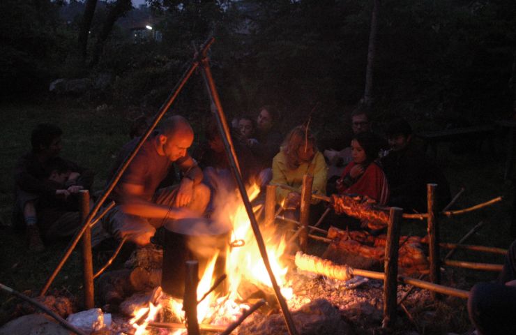
Sleep upstairs!!!!
The town's thermal baths have been open since the middle of the 19th century. The waters are very effective on ...
20,5 km - Aulus-les-Bains

Aulus-les-Bains, nestled in the heart of the Ariège Pyrenees, is a mountain spa resort renowned for its exceptional ...
20,7 km - Aulus-les-Bains
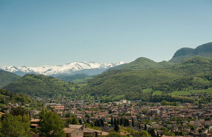
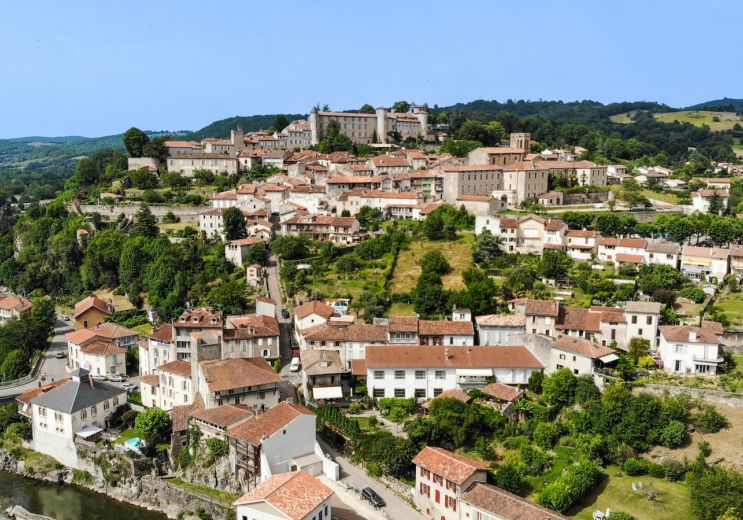
Saint-Girons is the capital of Couserans. This village is surrounded by a green landscape, between mountains and ...
21,3 km - Saint-Girons
In the Land of Traces: a nature and discovery theme park in Saint-Lizier, in Ariège Au Pays des Traces invites ...
22,5 km - Saint-Lizier
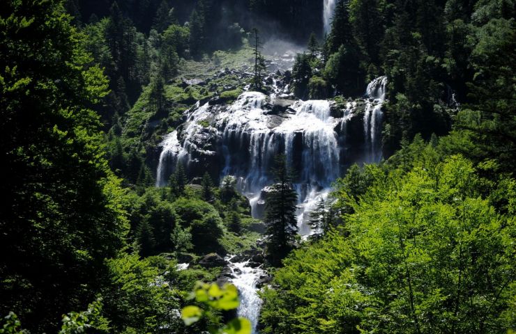
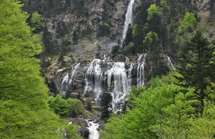
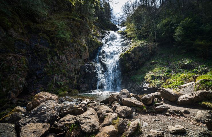
The Ars waterfall in Couserans is considered one of the most beautiful in the Pyrenees. It is located at the end of ...
22,9 km - Aulus-les-Bains

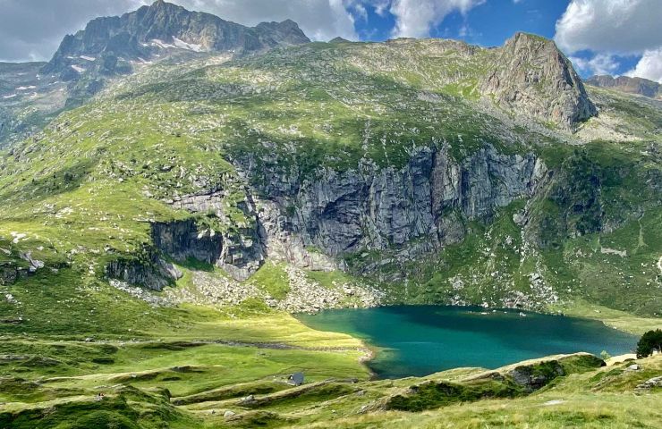
MONT VALIER National Forest
09140 SEIX
42° 47'53.39"N, 1° 5'8.82"E
20,7 km - Aulus-les-Bains
Culture and Heritage
21,1 km - Saint-Girons
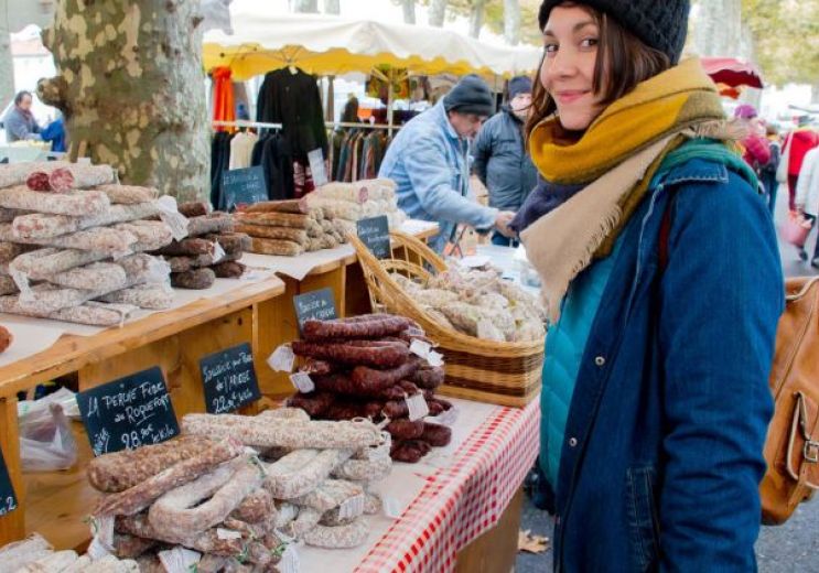
Food Lovers
21,1 km - Saint-Girons
Rest and relaxation
21,5 km - Saint-Lary
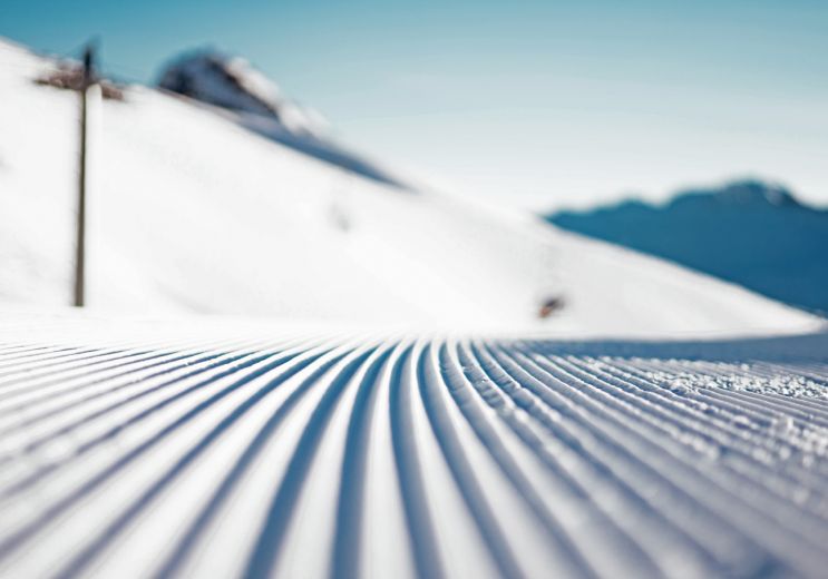
Sport
23,1 km - Saint-Lizier
Culture and Heritage
The Ars waterfall in Couserans is considered one of the most beautiful in the Pyrenees. It is located at the end of ...
22,9 km - Aulus-les-Bains
The Regional Natural Park of the Ariège Pyrenees aims to protect the ecosystem of the Ariège mountains. This ...
38,5 km - Montels
To get there, you have to go through a first hike that takes you to Lake Oô. Once past this first section, you ...
48,8 km - Bagnères-de-Luchon
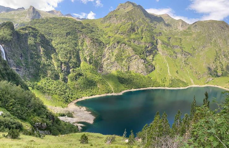
A hike accessible to all, a must-see in the Pyrenees. With good shoes and a little willpower, the whole family can ...
48,9 km - Oô
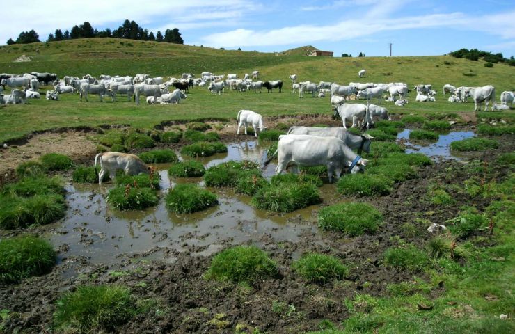
Located in Ariège, the Beille plateau has an average altitude of 1,000 m. In the past, it was the kingdom of cows ...
50,1 km - Les Cabannes