Le Guide Toulouse Pyrénées
Discover our other guides

- Home page
- Tourism
- Discover
- Hiking itineraries in Toulouse Pyrénées
- Haute-Garonne
- Mayrègne
- 2 - LES CRÊTES D'ANTENAC
- Mayrègne
- Haute-Garonne
- Hiking itineraries in Toulouse Pyrénées
- Discover
- Tourism
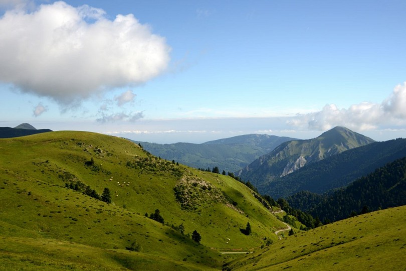
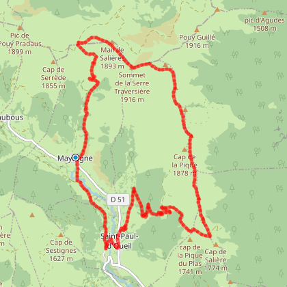
2 - LES CRÊTES D'ANTENAC
You will like also

Click here to activate the interactive map
You will also like
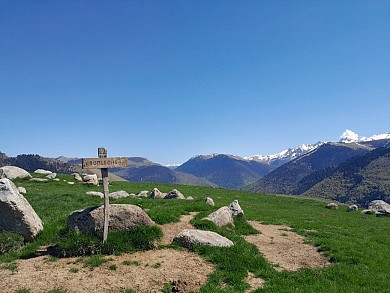
We tested for you
Photo spots in Haute-Garonne
5,9 km
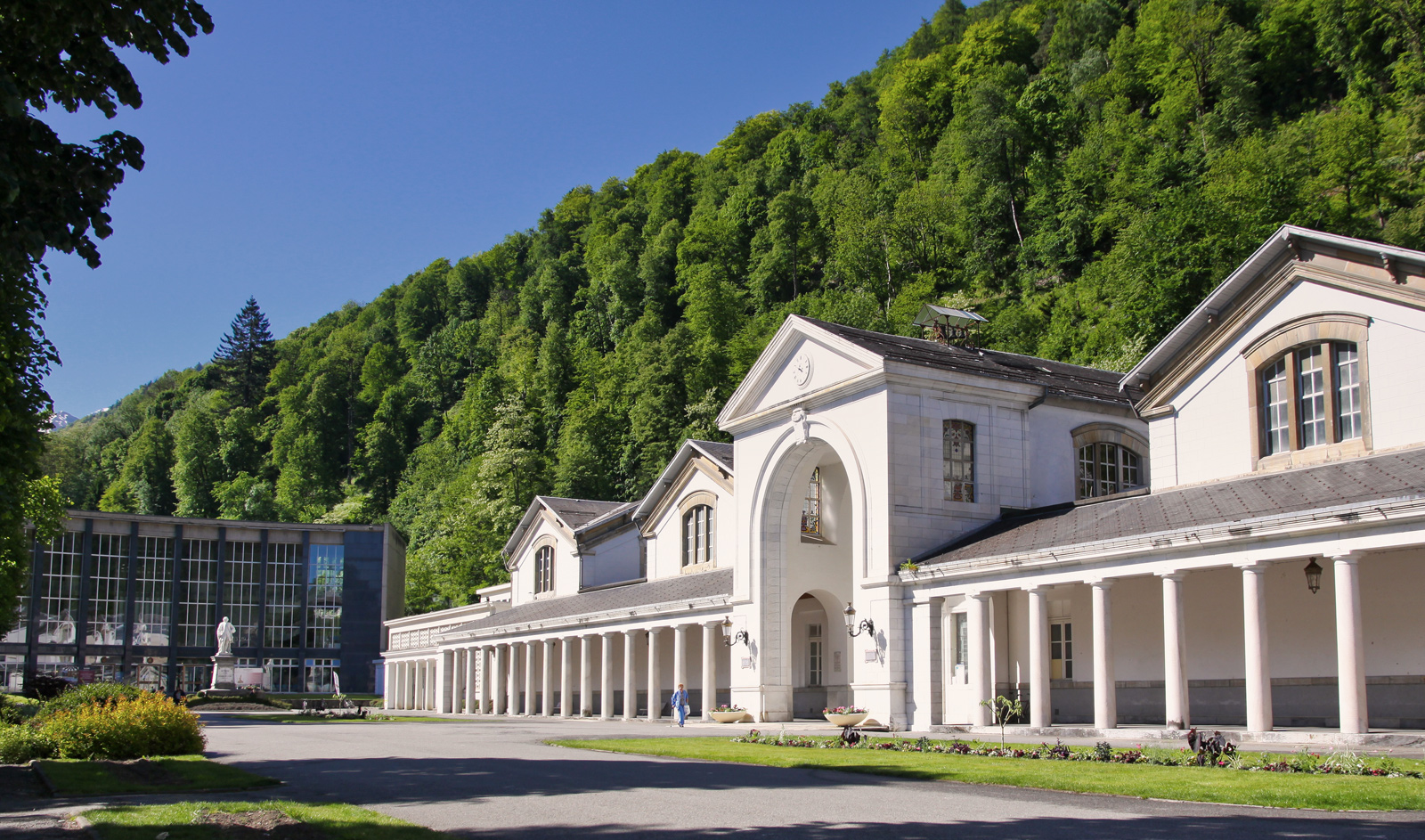
The Thermes de Luchon, the most sulphurous waters in the Pyrenees, are getting a makeover!
7,5 km
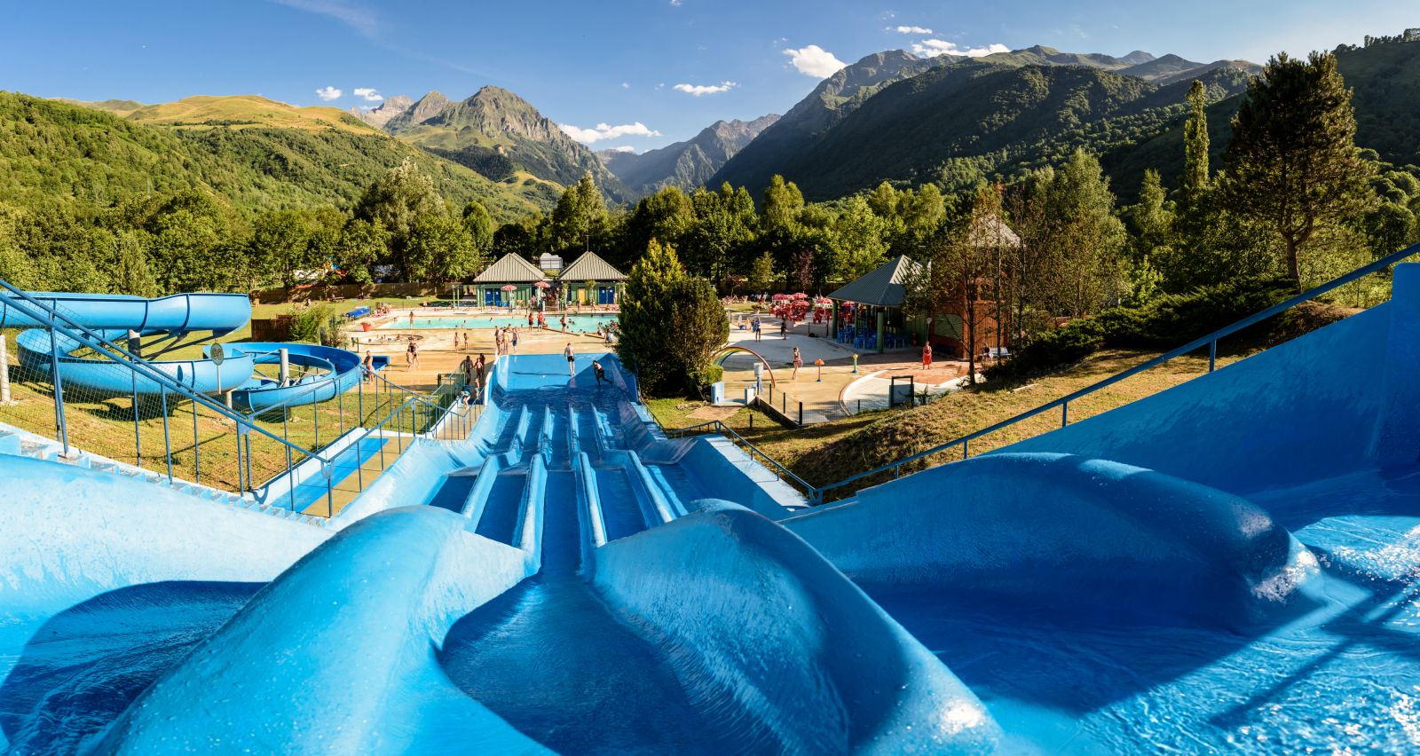
A complete and absolutely perfect destination for a family summer: Pyrenees Central Park
9,6 km
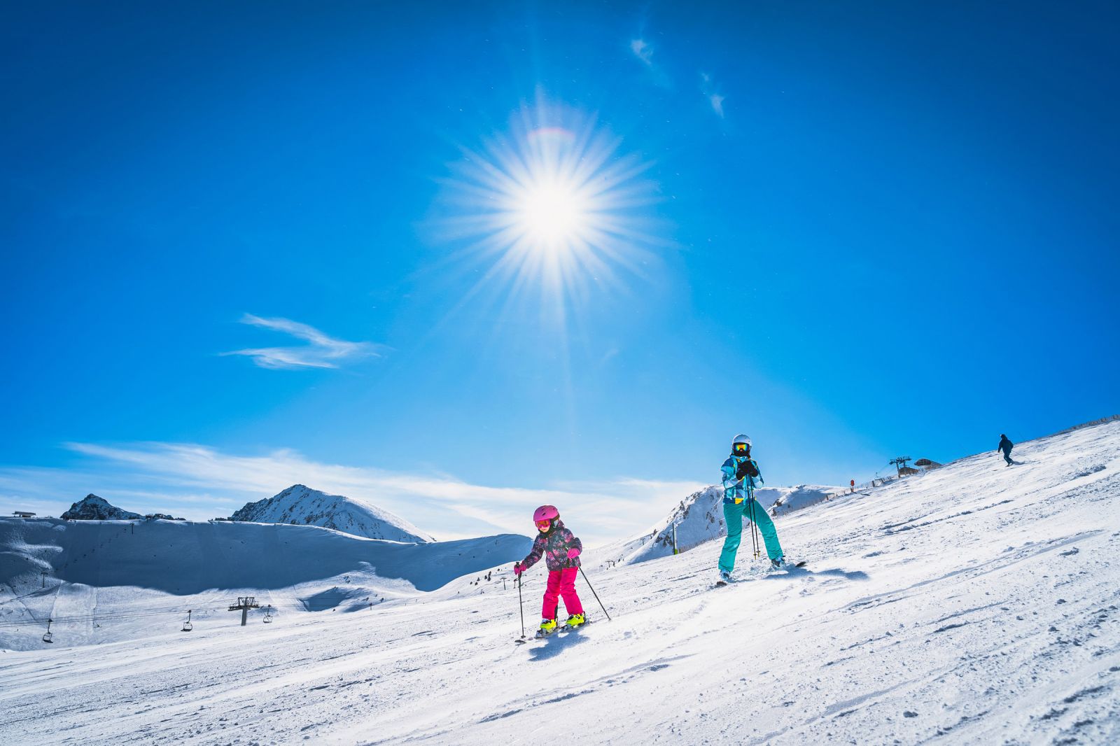
Skiing with children in the Pyrenees
10,9 km
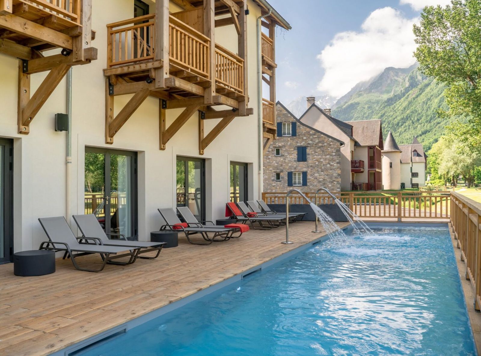
Mercure, two exceptional 4* hotels that offer a unique experience in the Hautes-Pyrénées
11,7 km
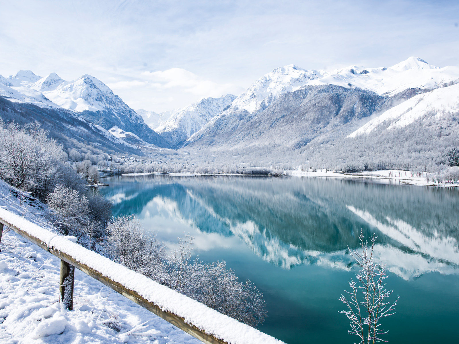
Peyragudes: Your skiing holiday, in an idyllic setting suitable for everyone!

11,7 km
Pyrénées Central Park: the ideal destination for family skiing in the Pyrenees
11,7 km
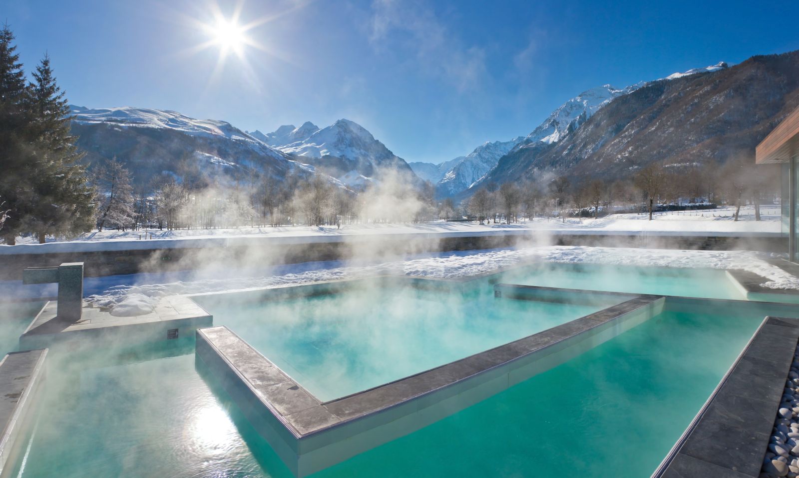
Balnéa: Relaxation in thermal water for the whole family
11,7 km