
Baptism of paragliding above Lake Génos-Loudenvielle : an experience to live!
Baptism of paragliding above Lake Génos-Loudenvielle : an experience to live!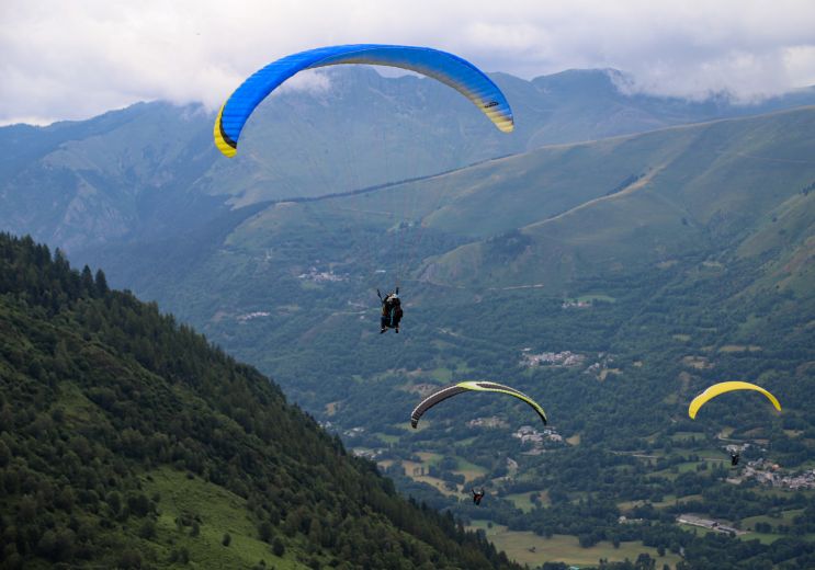
5,2 km - Génos
Not to be missed
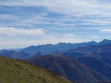
In the heart of Comminges, Aspet invites visitors to commune with nature and outdoor activities. Between plains and ...
6,4 km - Aspet

Loures-Barousse is a French commune located in the Hautes-Pyrénées department, in the Occitanie region. The ...
11,4 km - Loures-Barousse

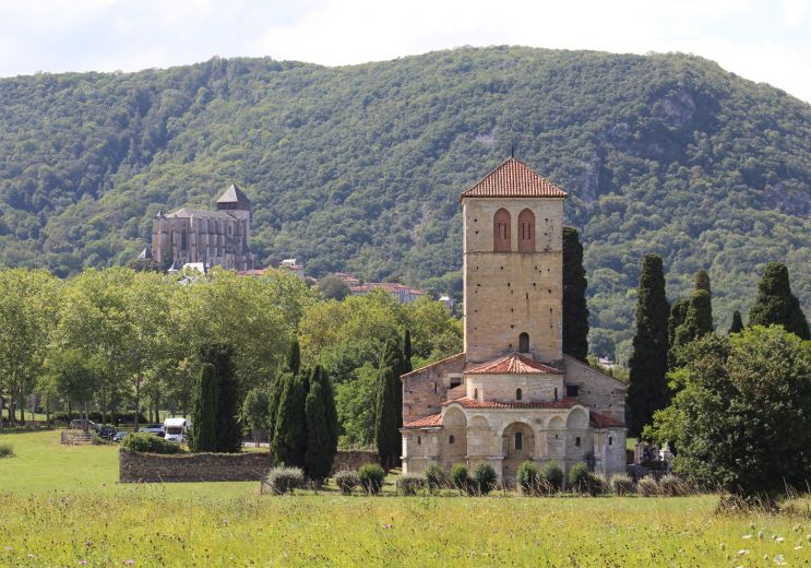
Located at the foot of the medieval town of Saint-Bertrand-de-Comminges, the Basilica of Saint-Just in Valcabrère ...
13,1 km - Valcabrère

Valcabrère is a charming little village located in the Pyrenees, near Saint-Bertrand-de-Comminges. It is best known ...
13,4 km - Valcabrère
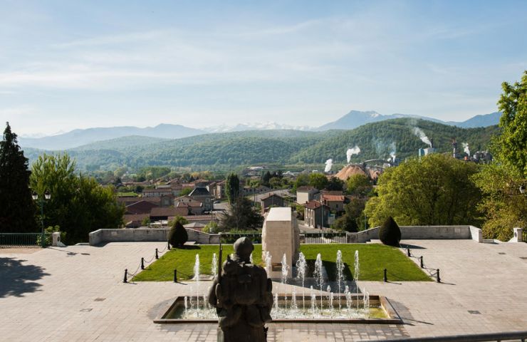
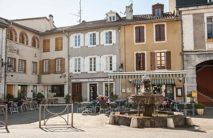
Saint-Gaudens is a town rich in history and activities, located in the heart of Comminges. A bit of history In the ...
13,6 km - Saint-Gaudens
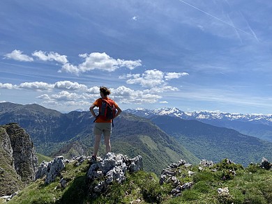
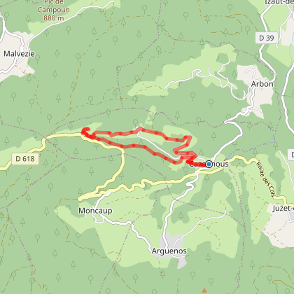
2,5 km - Moncaup
Walking
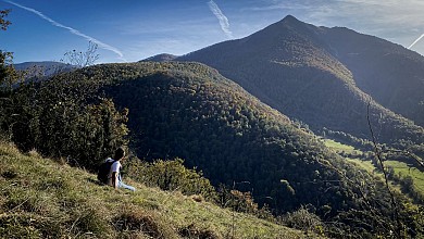
3,1 km - Juzet-d'Izaut
Running
5,2 km - Génos
Not to be missed
13,5 km - Saint-Gaudens
Weekend & Holidays
14,4 km - Saint-Lary
Sport
22,4 km - Nistos
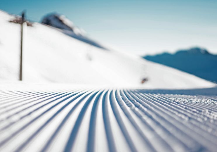
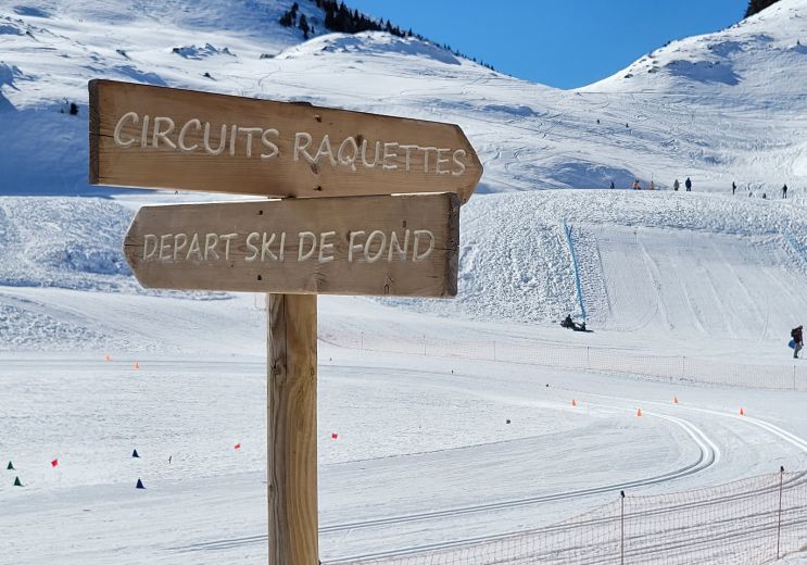
Winter's fun !
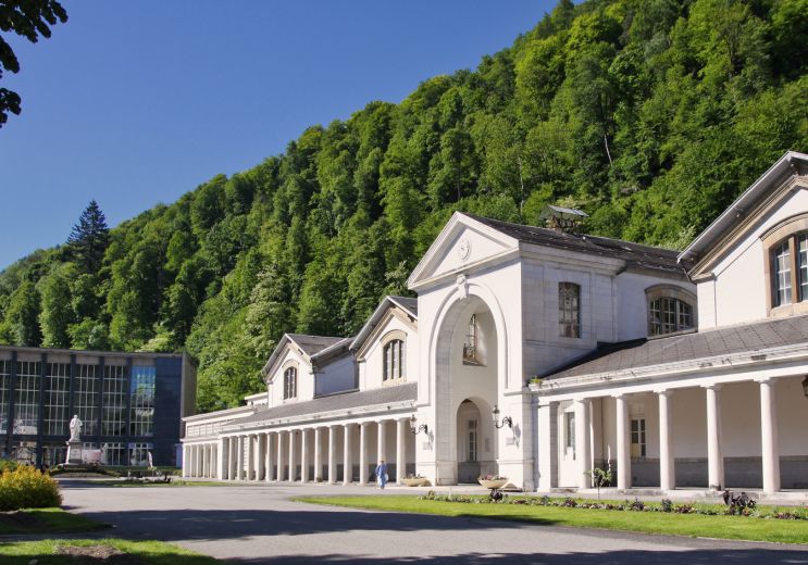
24,8 km - Bagnères-de-Luchon
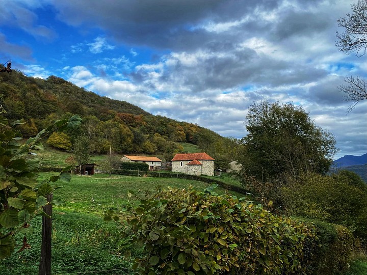
Rest and relaxation