The Textile and Horn Comb Museum: the incredible discovery of ancestral traditions in Ariège
The Textile and Horn Comb Museum: the incredible discovery of ancestral traditions in Ariège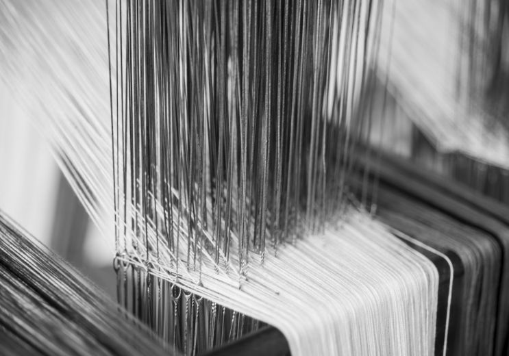
4,1 km - Lavelanet
Culture and Heritage
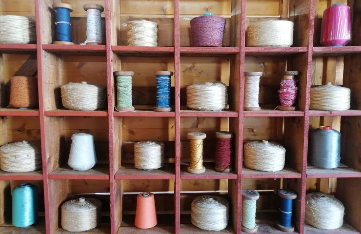
His visit is an invitation to travel, to the heart of matter and eras, from the Middle Ages to the 21st century. The ...
5,1 km - Lavelanet
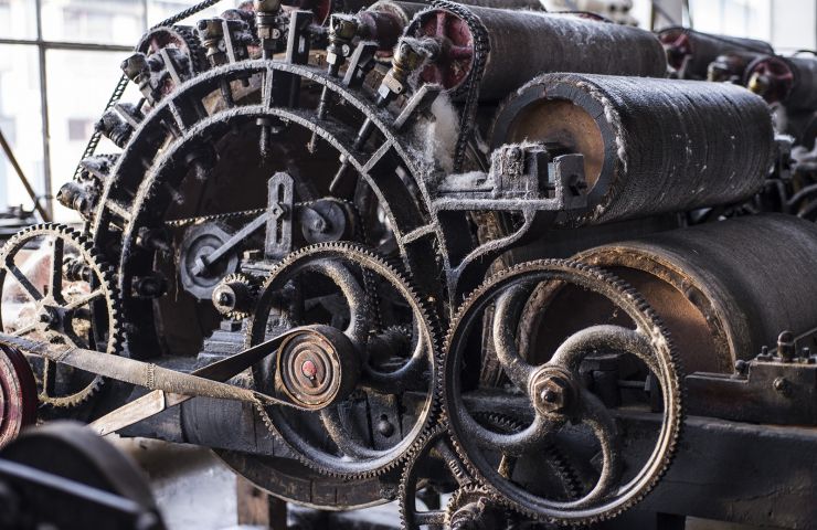
His visit is an invitation to travel, to the heart of matter and eras, from the Middle Ages to the 21st century. The ...
5,1 km - Lavelanet

deuch vadrouille 09 : Ariège at the pace of a legendary French car Getting off the beaten track doesn't always ...
8,2 km - Mirepoix
Camon, in Ariège, is a village classified among the most beautiful villages in France. It is nicknamed " the ...
9,4 km - Camon
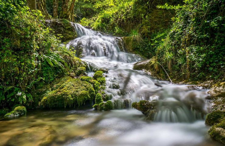
The Roquefort-les-Cascades waterfalls are a remarkable natural site located in the Ariège department, in the heart ...
9,5 km - Roquefort-les-Cascades
3,5 km - Dreuilhe
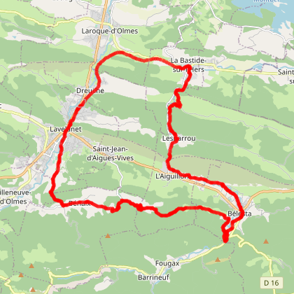
Walking Mountain bike Electrically assisted bicycle
3,5 km - Lavelanet
Walking Mountain bike Horse
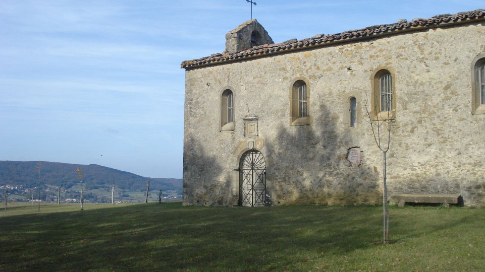
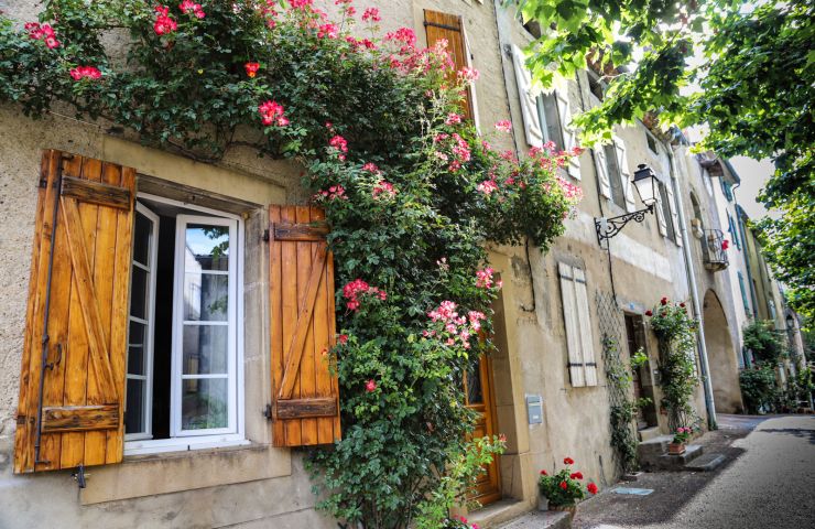
4,1 km - Lavelanet
Culture and Heritage
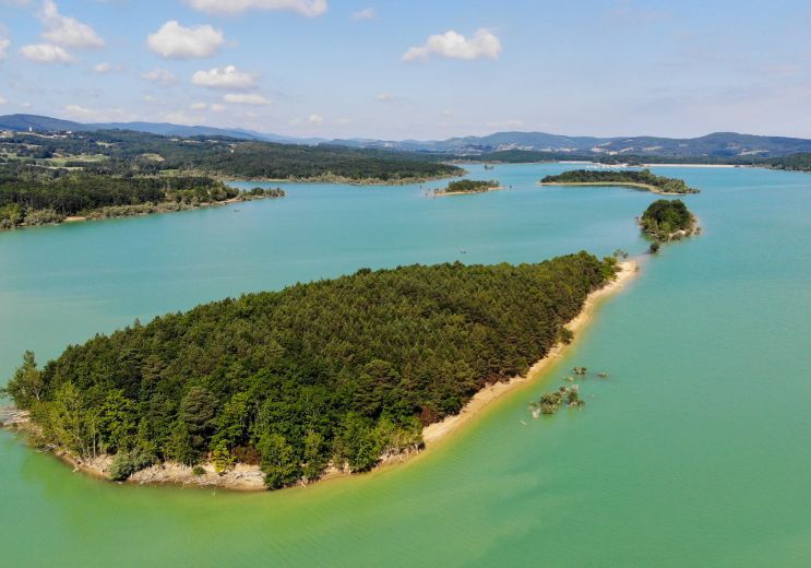
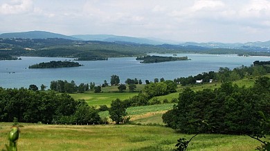
8,4 km - Montbel
Not to be missed
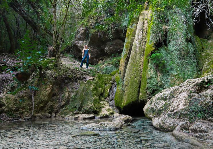
9,1 km - Roquefort-les-Cascades
Weekend & Holidays
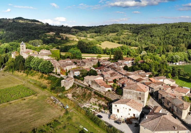
9,4 km - Camon
Weekend & Holidays
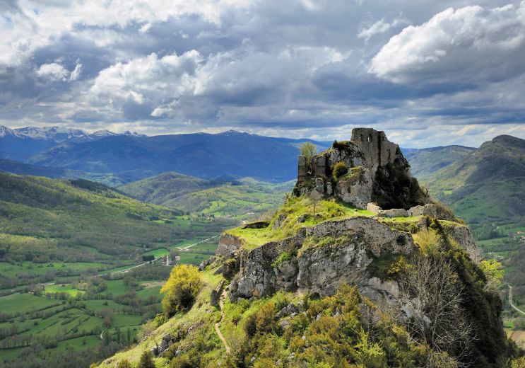
10,4 km - Roquefixade
Culture and Heritage