Le Guide Toulouse Pyrénées
Discover our other guides

- Home page
- Tourism
- Discover
- Hiking itineraries in Toulouse Pyrénées
- Haute-Garonne
- Bagnères-de-Luchon
- LE COL DES PRADETS AU DÉPART DE LA GARE DE LUCHON
- Bagnères-de-Luchon
- Haute-Garonne
- Hiking itineraries in Toulouse Pyrénées
- Discover
- Tourism
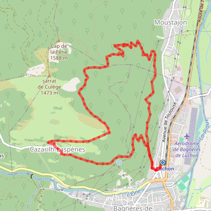
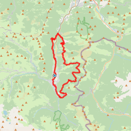
LE COL DES PRADETS AU DÉPART DE LA GARE DE LUCHON
You will like also

Click here to activate the interactive map
You will also like
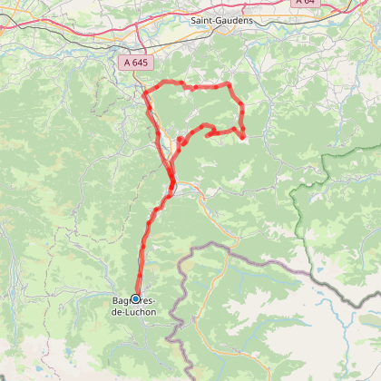
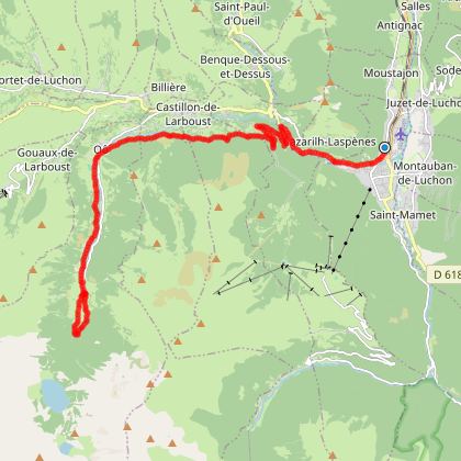
LA TOUR DE CASTEL BLANCAT DEPUIS LA GARE DE LUCHON
LA TOUR DE CASTEL BLANCAT DEPUIS LA GARE DE LUCHON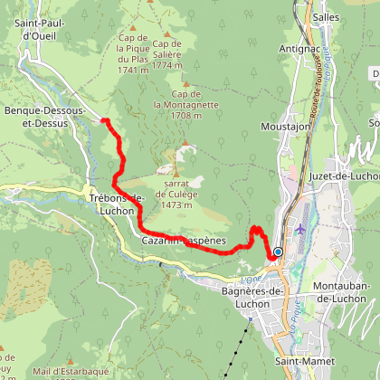
Bagnères-de-Luchon
We tested for you
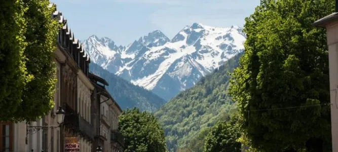
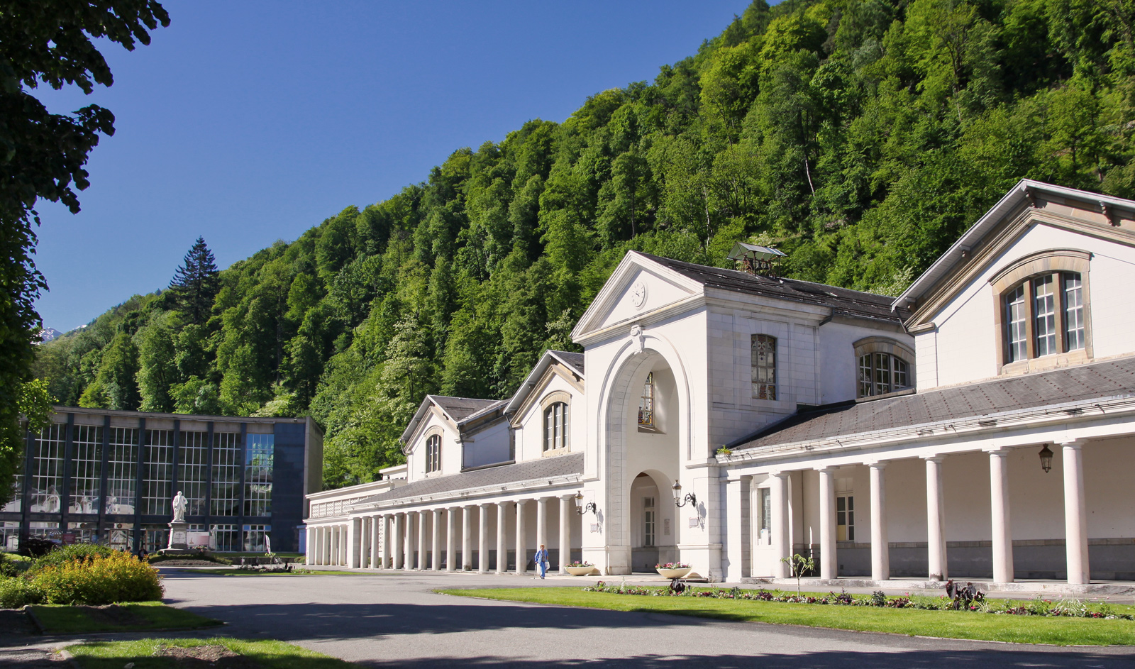
The Thermes de Luchon, the most sulphurous waters in the Pyrenees, are getting a makeover!
976 m
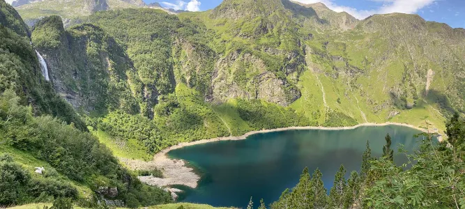
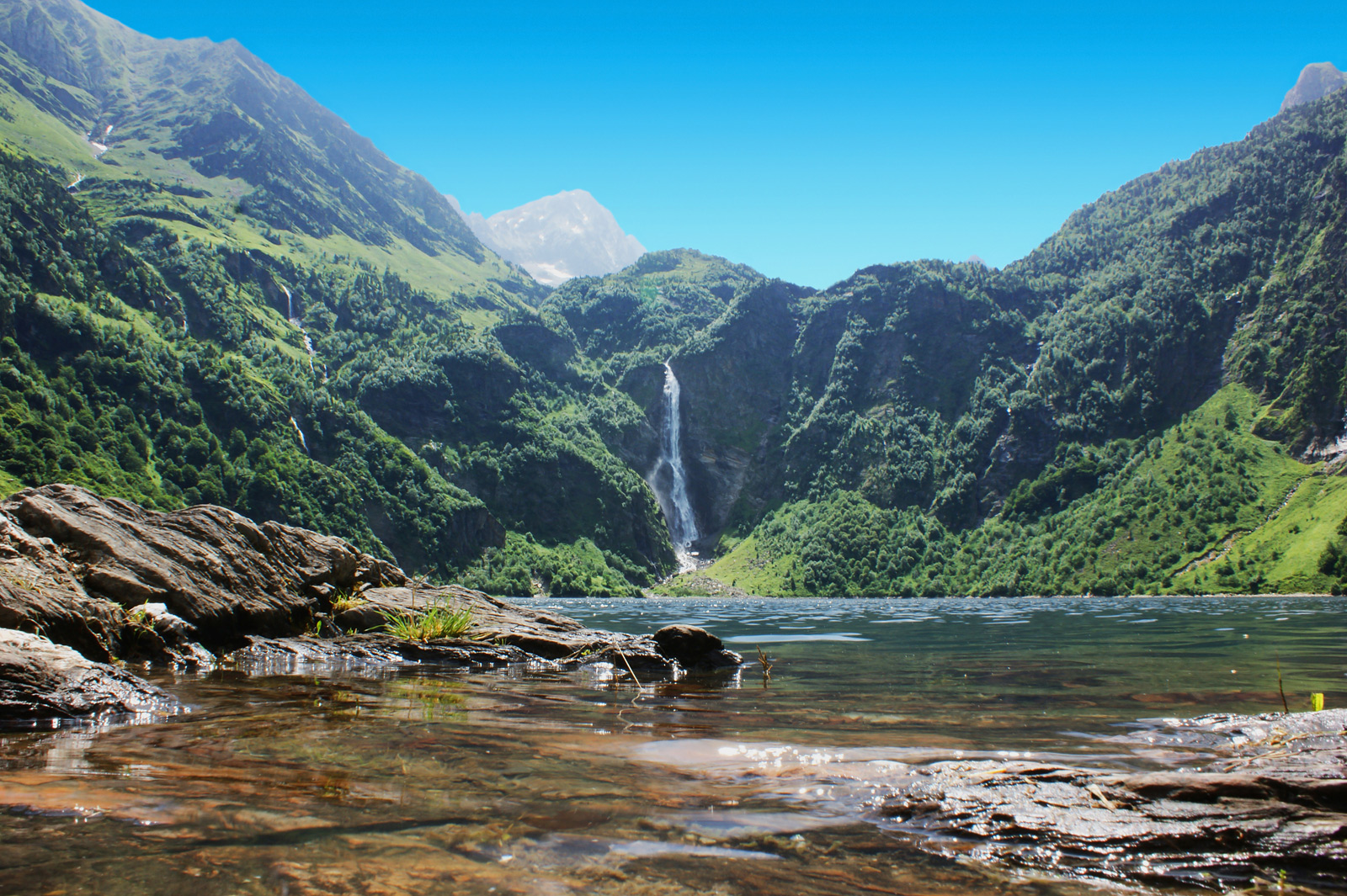
Photo spots in Haute-Garonne
7,4 km
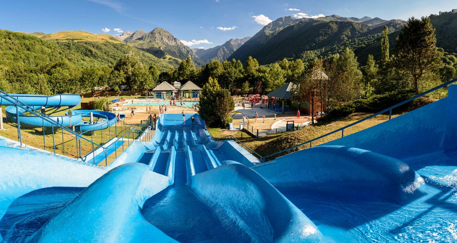
A complete and absolutely perfect destination for a family summer: Pyrenees Central Park
12,3 km
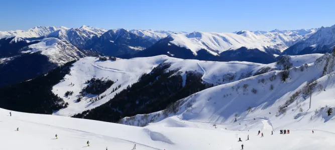
Skiing with children in the Pyrenees

13,9 km
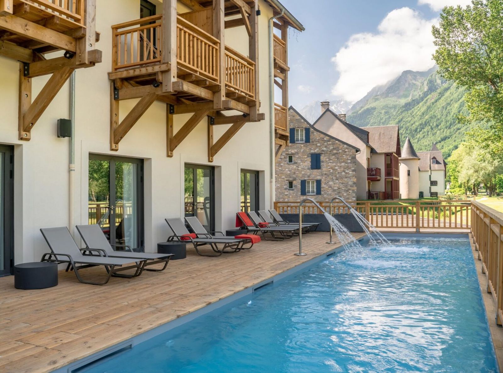
Mercure, two exceptional 4* hotels that offer a unique experience in the Hautes-Pyrénées
15,0 km
Peyragudes: Your skiing holiday, in an idyllic setting suitable for everyone!

15,0 km
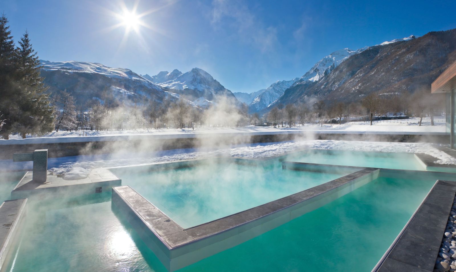
Balnéa: Relaxation in thermal water for the whole family
15,0 km
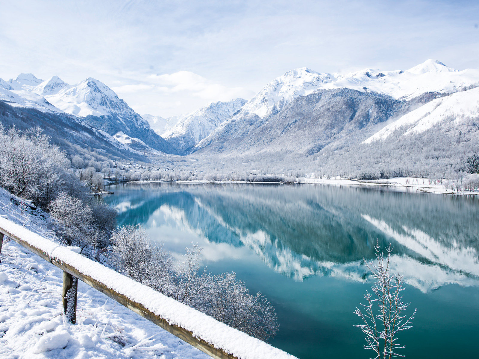
Pyrénées Central Park: the ideal destination for family skiing in the Pyrenees
15,0 km