Le Guide Toulouse Pyrénées
Discover our other guides

You will like also

Click here to activate the interactive map

You will also like
We tested for you
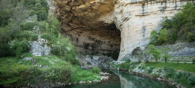
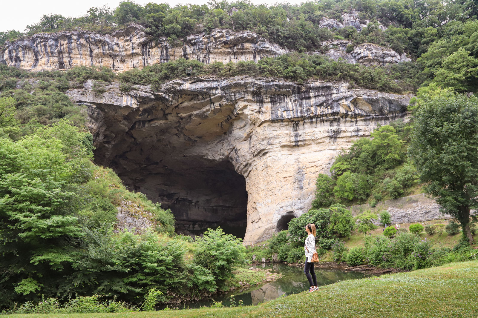
The Grotte du Mas d´Azil, discovery of a world-famous prehistoric cave in Ariège
4,8 km
Les Terroirs du Plantaurel, promoting the Ariège region through social commitment

11,6 km
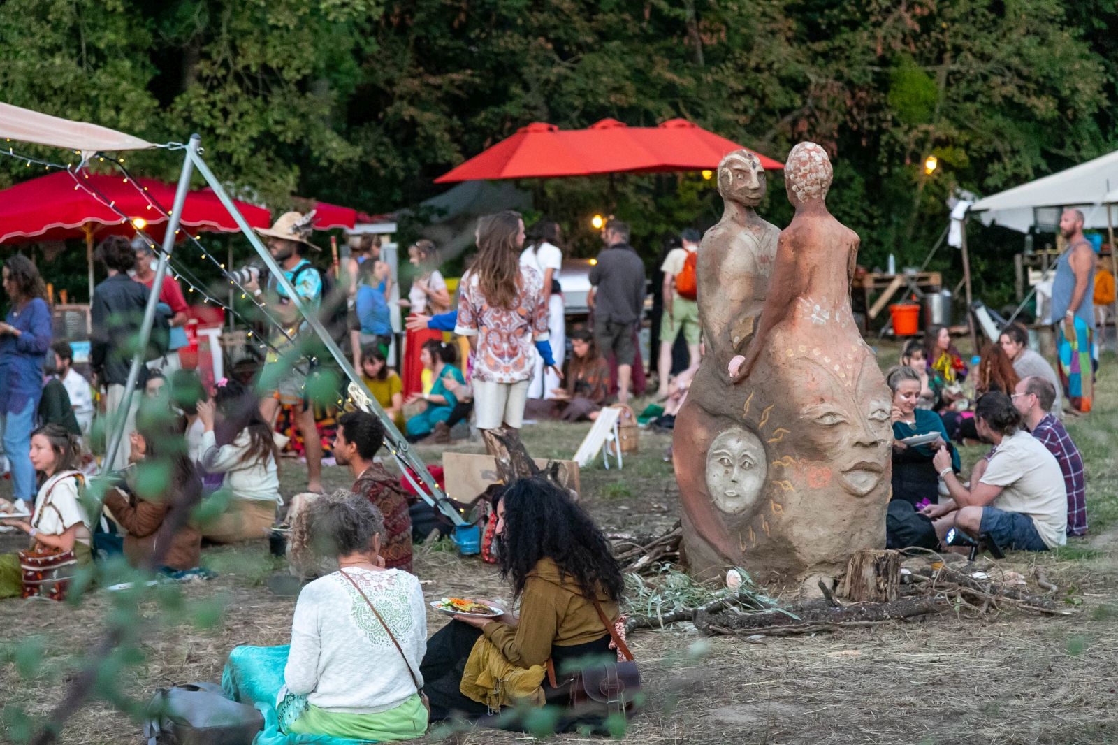
Matricia Experience: a family and spiritual festival in the heart of the Ariège forest
12,9 km
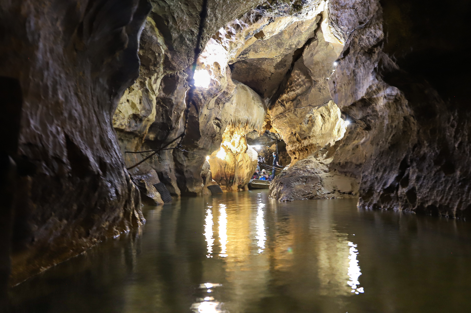
The underground river of Labouiche: journey to the center of the Earth
14,8 km
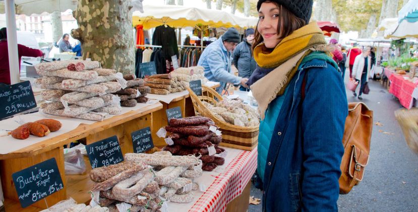
A gourmet getaway in the heart of Couserans: everything is delicious in Saint-Girons!
18,8 km
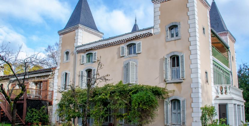
The Château de Beauregard: a romantic getaway in a historic setting
18,8 km
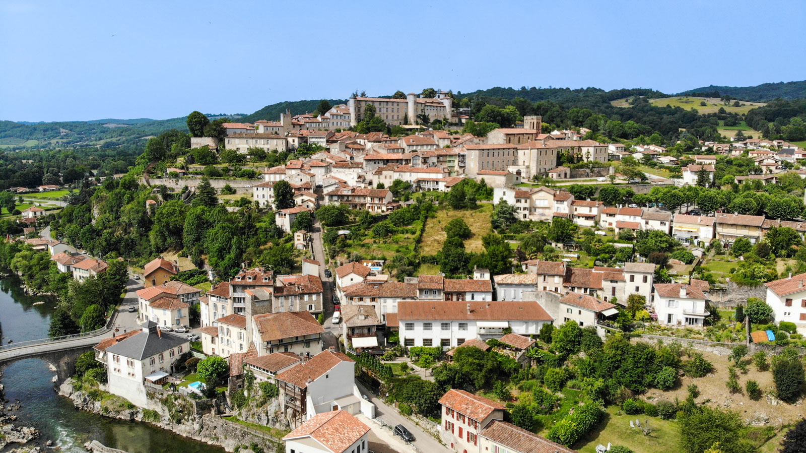
The essentials of Saint-Lizier, historic capital of Couserans
19,1 km
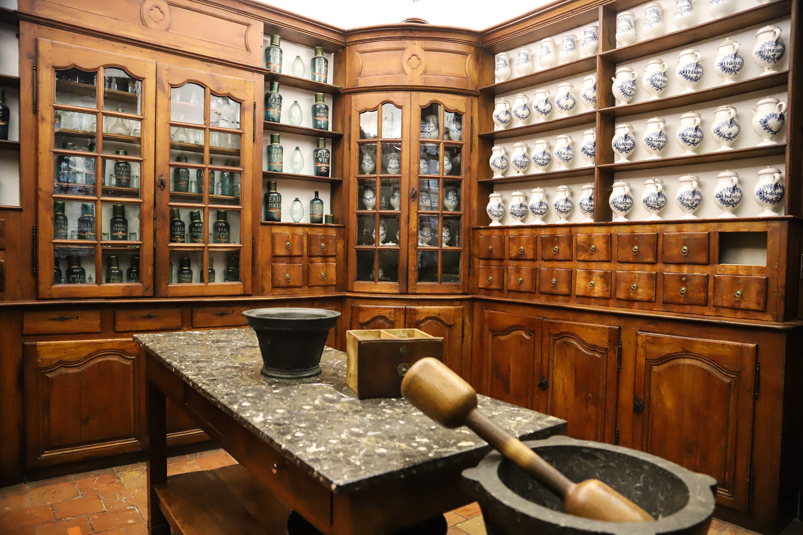
The authentic 18th century pharmacy of Saint-Lizier, one of the most beautiful in France
19,1 km