- Home page
- Tourism
- Discover
- Hiking itineraries in Toulouse Pyrénées
- Haute-Garonne
- Oô
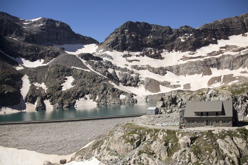
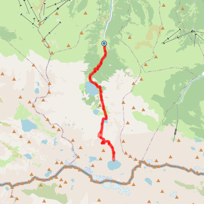
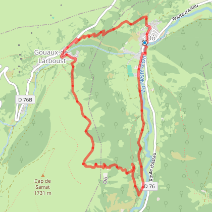
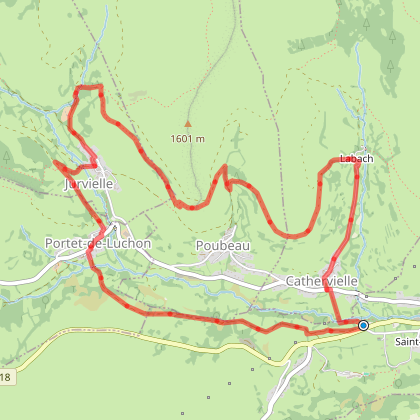
- LES CHEMINS DE LA LIBERTÉ (OPUS N°3) : DES GRANGES D'ASTAU AU REFUGE DU PORTILLON
- Oô
- Haute-Garonne
- Hiking itineraries in Toulouse Pyrénées
- Discover
- Tourism
LES CHEMINS DE LA LIBERTÉ (OPUS N°3) : DES GRANGES D'ASTAU AU REFUGE DU PORTILLON
Oô
You will like also
Peyragudes, one resort, 3 villages
Peyragudes, one resort, 3 villages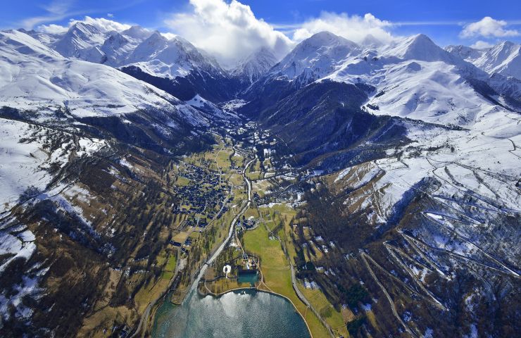
The two high-altitude villages of the Peyragudes resort are now connected to the valley village of Loudenvielle. ...
5,2 km - Germ
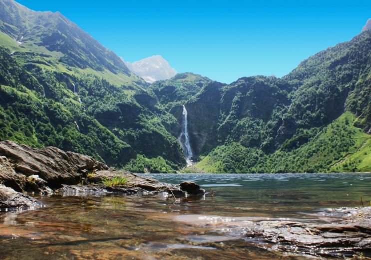
Oô Lake
Oô Lake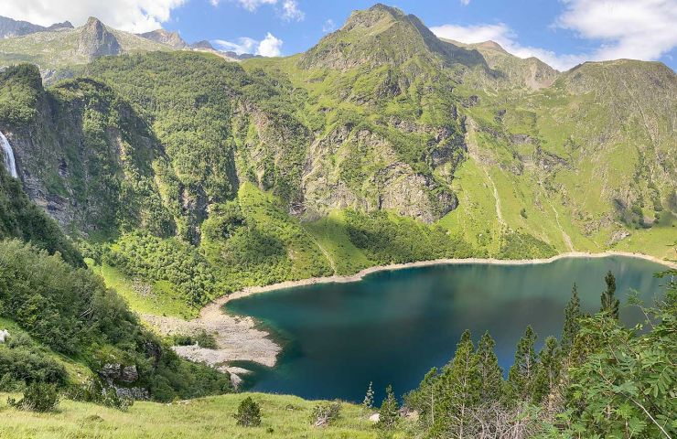
A hike accessible to all, a must-see in the Pyrenees. With good shoes and a little willpower, the whole family can ...
6,3 km - Oô
Bagnères-de-Luchon
Bagnères-de-Luchon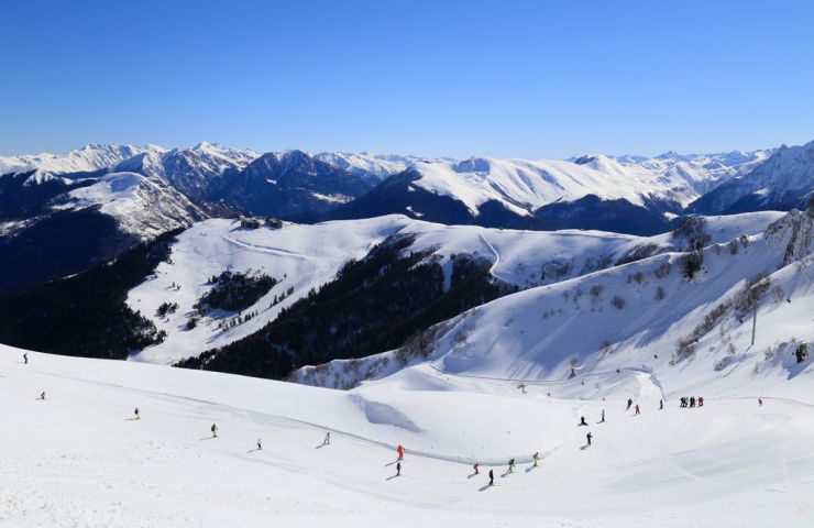
Bagnères-de-Luchon, often simply called Luchon, is a charming spa town nestled in the heart of the central ...
7,1 km - Bagnères-de-Luchon

Espingo Lake
Espingo Lake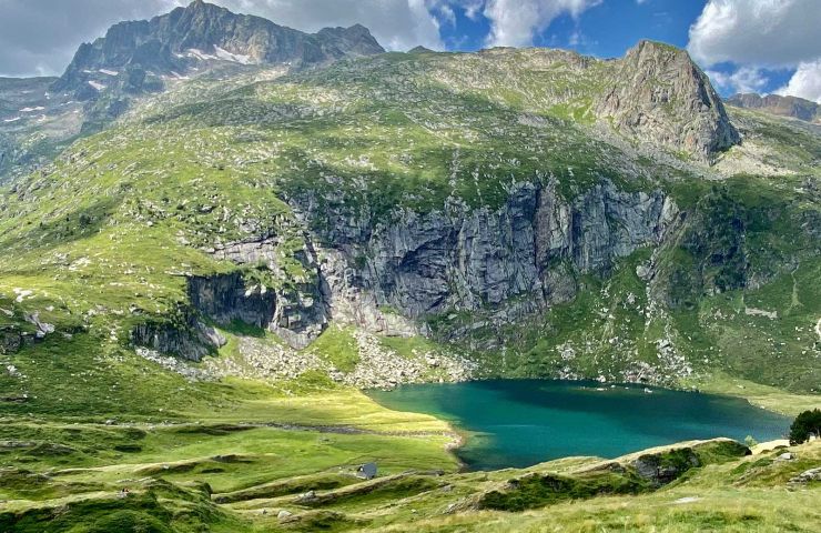
To get there, you have to go through a first hike that takes you to Lake Oô. Once past this first section, you ...
7,6 km - Bagnères-de-Luchon
You will also like

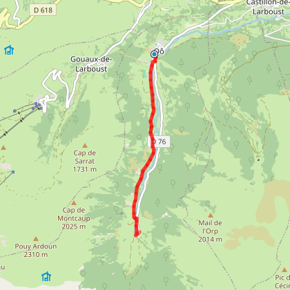
La traversée du Larboust (18)
La traversée du Larboust (18)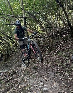
1,3 km - Gouaux-de-Larboust
Mountain bike
We tested for you
A complete and absolutely perfect destination for a family summer: Pyrenees Central Park
A complete and absolutely perfect destination for a family summer: Pyrenees Central Park
4,9 km - Peyragudes
Family Time
Skiing with children in the Pyrenees
Skiing with children in the Pyrenees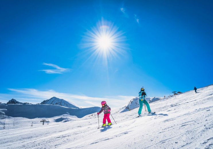
6,6 km - Germ
Winter's fun !
The Thermes de Luchon, the most sulphurous waters in the Pyrenees, are getting a makeover!
The Thermes de Luchon, the most sulphurous waters in the Pyrenees, are getting a makeover!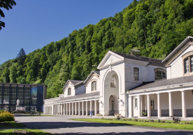
7,1 km - Bagnères-de-Luchon
Rest and relaxation
Mercure, two exceptional 4* hotels that offer a unique experience in the Hautes-Pyrénées
Mercure, two exceptional 4* hotels that offer a unique experience in the Hautes-Pyrénées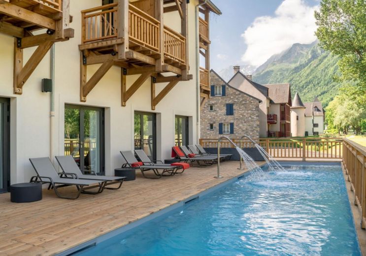
7,6 km - Loudenvielle
Weekend & Holidays