Le Guide Toulouse Pyrénées
Discover our other guides

- Home page
- Tourism
- Discover
- Hiking itineraries in Toulouse Pyrénées
- Haute-Garonne
- Le Castéra
- LE CHEMIN DE LAHIRE
- Le Castéra
- Haute-Garonne
- Hiking itineraries in Toulouse Pyrénées
- Discover
- Tourism
LE CHEMIN DE LAHIRE

You will like also



You will also like


We tested for you
Travel back in time to the Château de Laréole
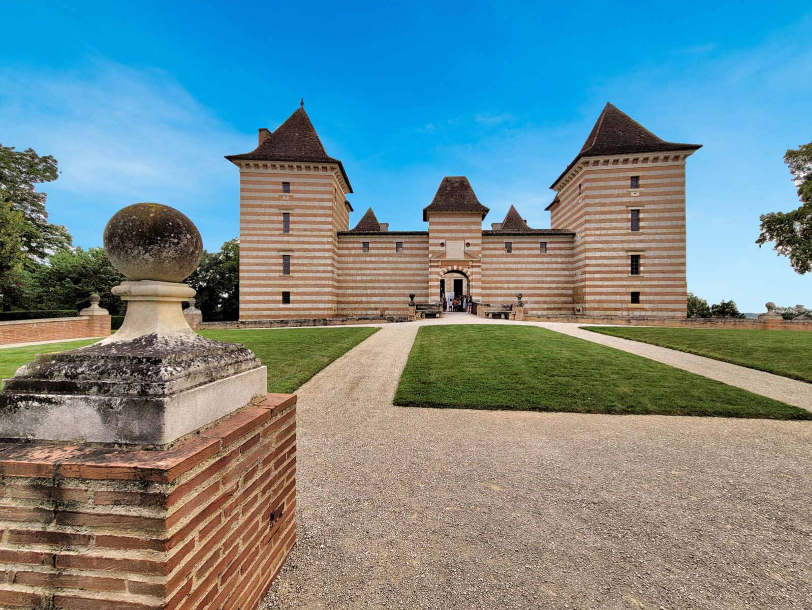
11,9 km
The Château de Merville & its Labyrinth: wonderful!
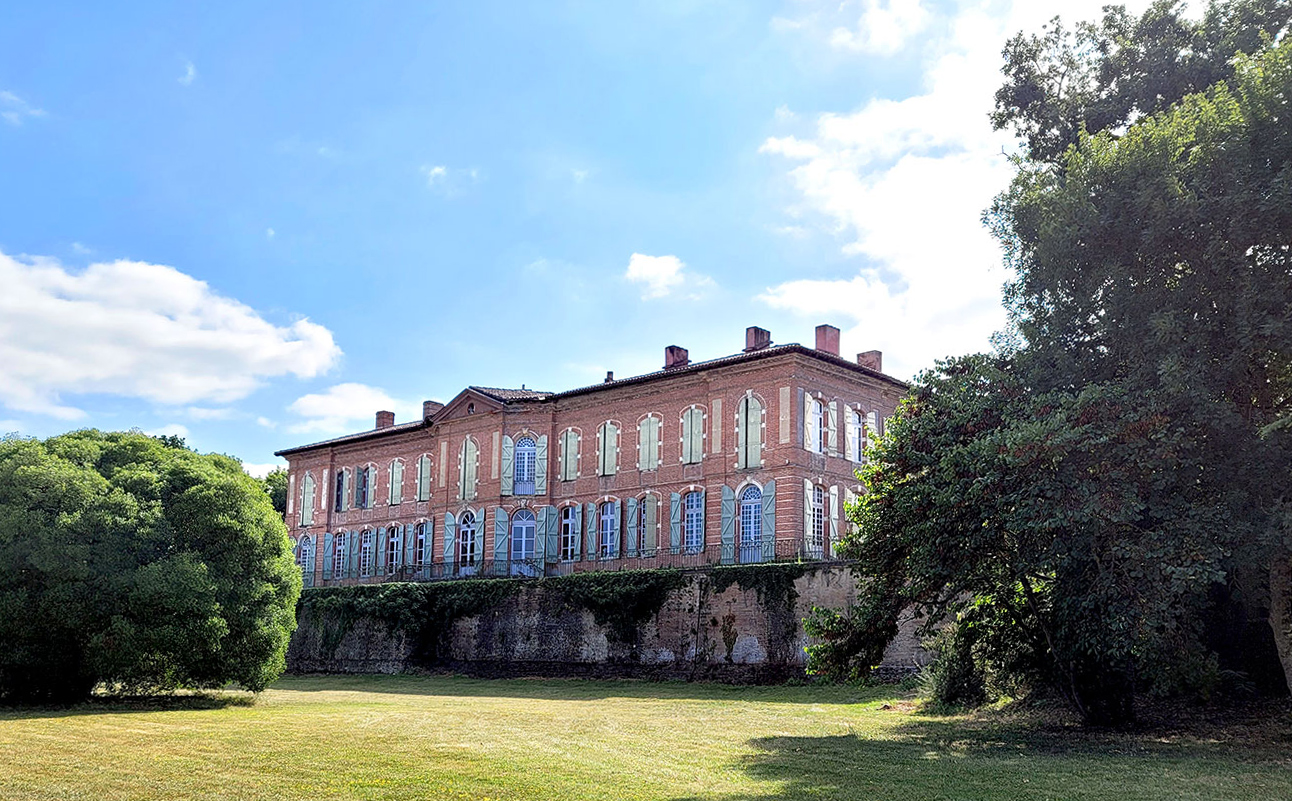
13,9 km
Discover the castles less than 30 minutes from Toulouse
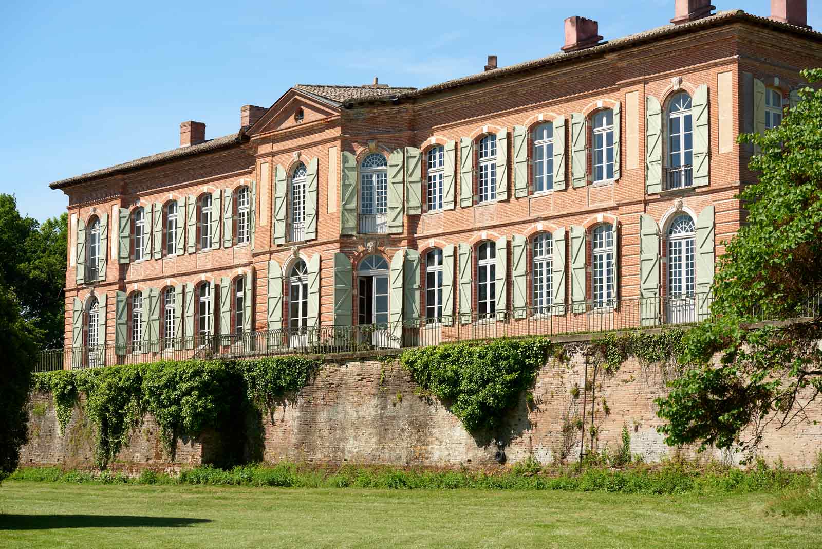
13,9 km
Bastide of Grenade: a new town of the Middle Ages
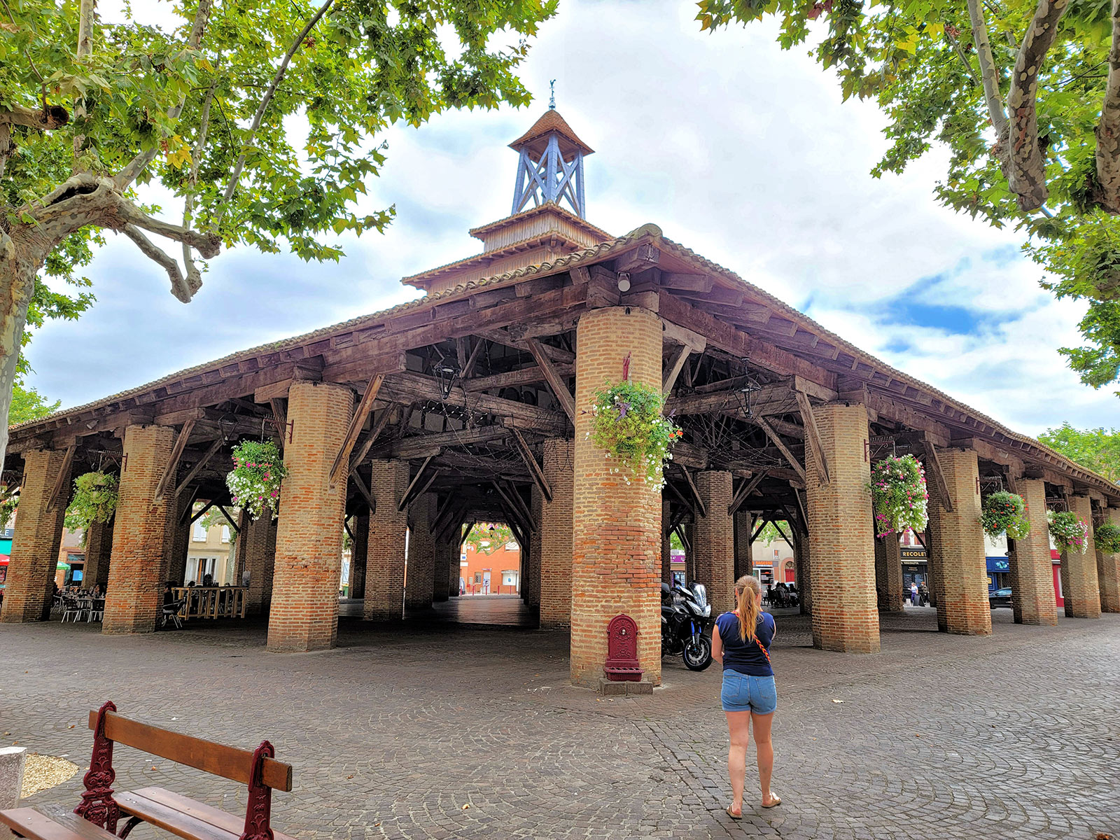
16,6 km
Castelnau-d’Estrétefonds: discovery of the heritage of this pretty village
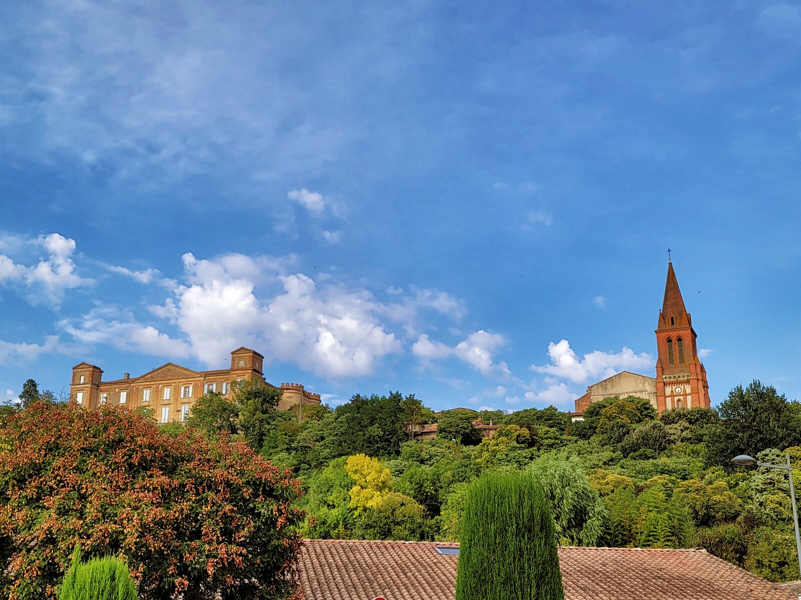
21,5 km
Must-see visits in Toulouse

25,8 km
What to do on Sunday in Toulouse?

25,8 km
Lakes, leisure parks and swimming spots around Toulouse

25,8 km