Baptism of paragliding above Lake Génos-Loudenvielle : an experience to live!
Baptism of paragliding above Lake Génos-Loudenvielle : an experience to live!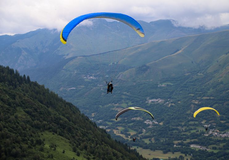
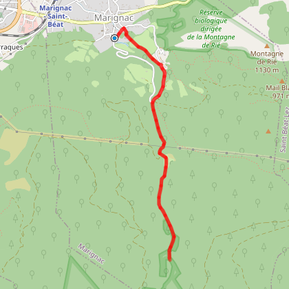
9,9 km - Génos
Not to be missed
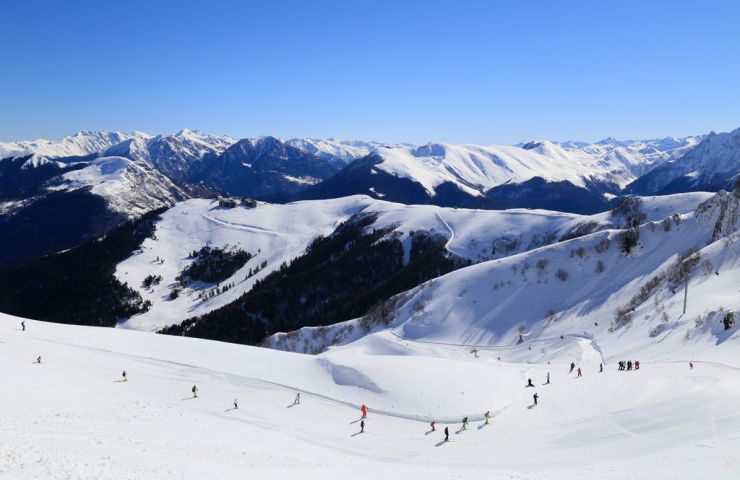
Le Mourtis is 1h30 from Toulouse, the ski area extends over 3 slopes with a multitude of sliding activities. Station ...
8,9 km - Boutx
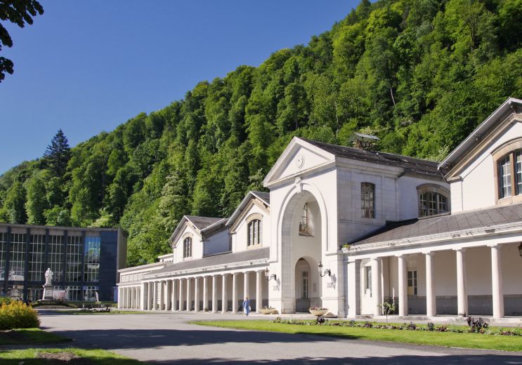
Bagnères de Luchon at an altitude of 630 meters is the 5th spa resort in France, the first in the Pyrenees, with ...
14,7 km - Bagnères-de-Luchon
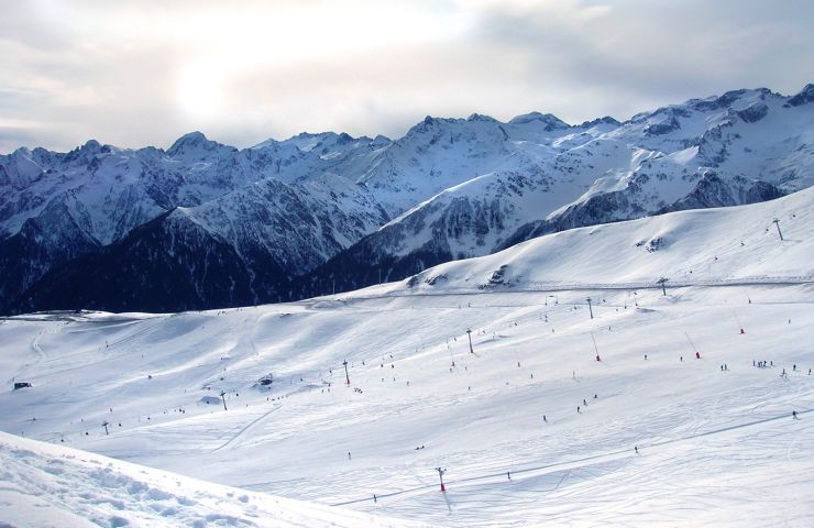
Superbagnères en Haute-Garonne, is located in the town of Saint-Aventin and accessible from Bagnères-de-Luchon by ...
14,7 km - Bagnères-de-Luchon
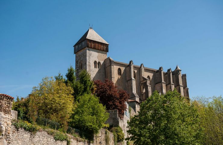
Saint-Bertrand de Comminges, perched on top of a promontory, is a picturesque medieval town with many half-timbered ...
14,7 km - Saint-Bertrand-de-Comminges
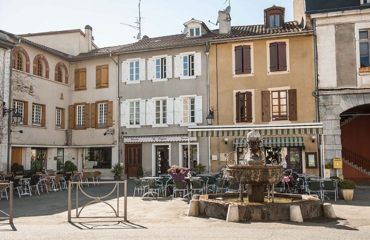
In the heart of Comminges, Aspet invites visitors to enter into communion with nature and outdoor activities. ...
16,4 km - Aspet
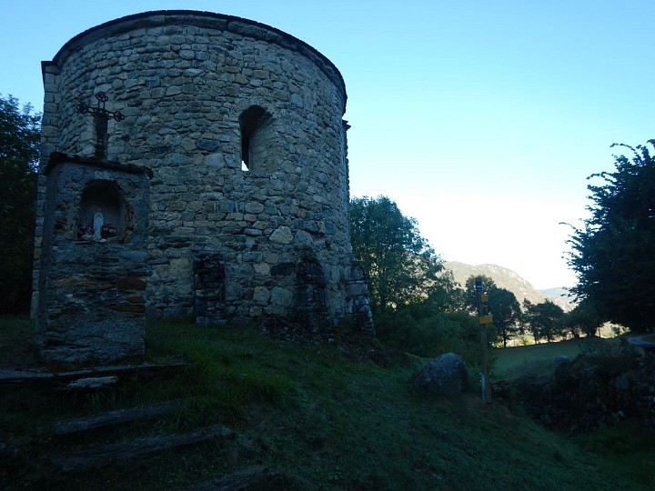
2,7 km - Saint-Béat
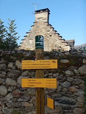
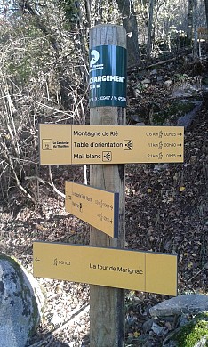
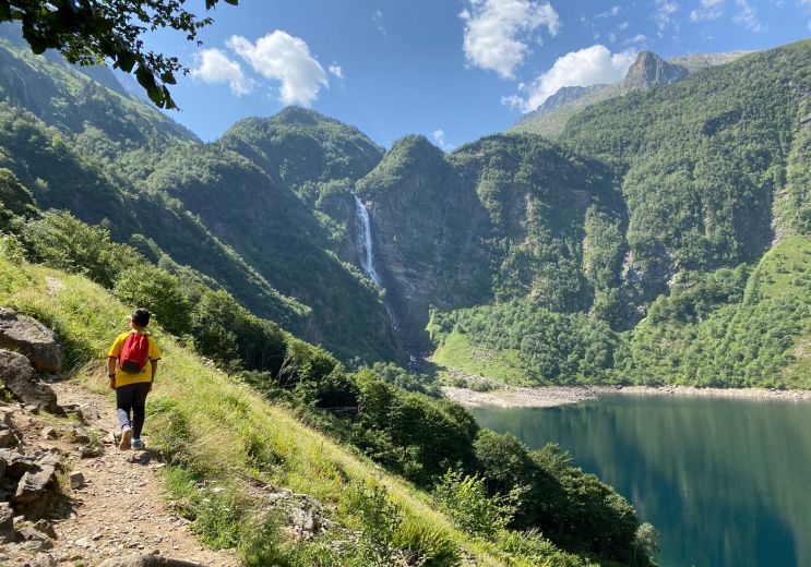
Walking
9,9 km - Génos
Not to be missed
14,7 km - Bagnères-de-Luchon
Rest and relaxation
17,9 km - Oô
Not to be missed
18,4 km - Nistos
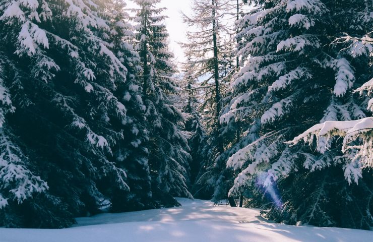
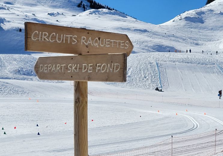
Winter's fun !
