Show map
Automatic translation
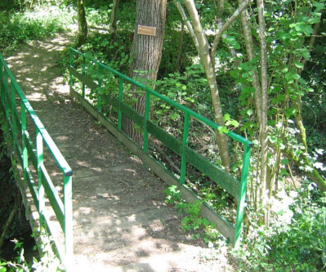
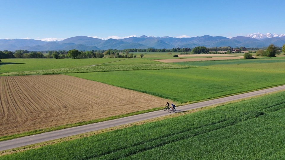
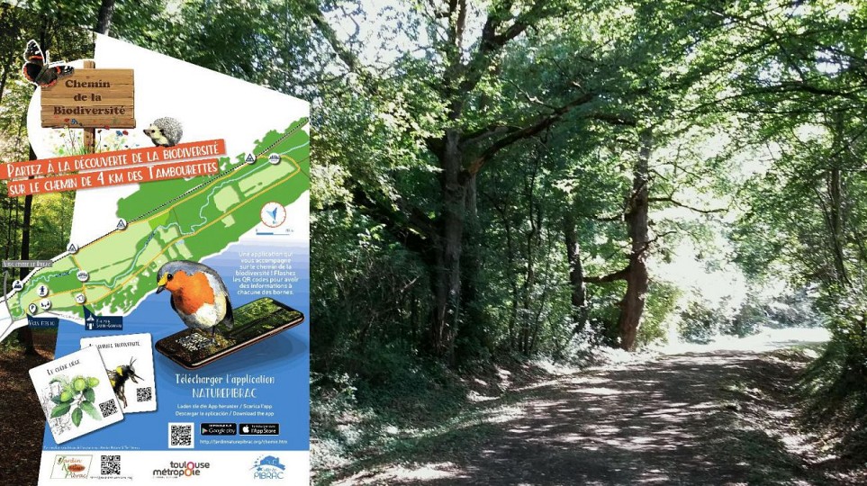
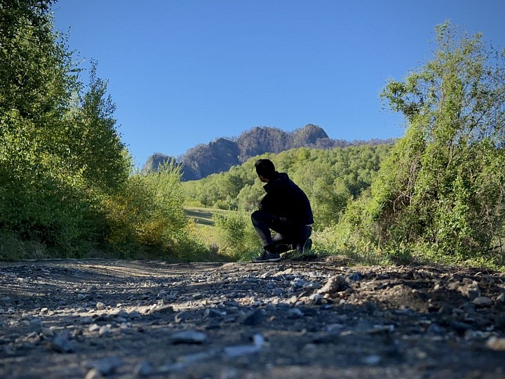
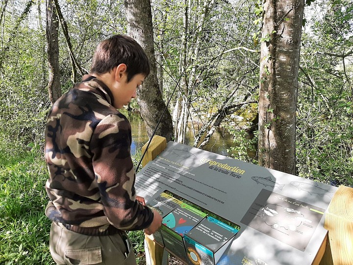
The most beautiful hikes in Haute-Garonne , in the Hautes-Pyrénées or in Ariège, the walks, small trails and natural sites to discover! On foot or by mountain bike, easy hikes and those for experienced walkers are present in our tools in collaboration with Cirkwi, but also to be found on each of our information sheets and at the bottom of the articles of our blog, in a geolocalized way. Come and hike to a lake in the Pyrenees, enjoy nature, discover the countryside around Toulouse, with family or friends. Hiking in the Pyrenees and in the whole region in general is great!
Itineraries 127 to 140 out of 705 itineraries in total in Haute-Garonne
PR 15 : COEUR HISTORIQUE, GARONNE ET PANORAMA
PR 15 : COEUR HISTORIQUE, GARONNE ET PANORAMA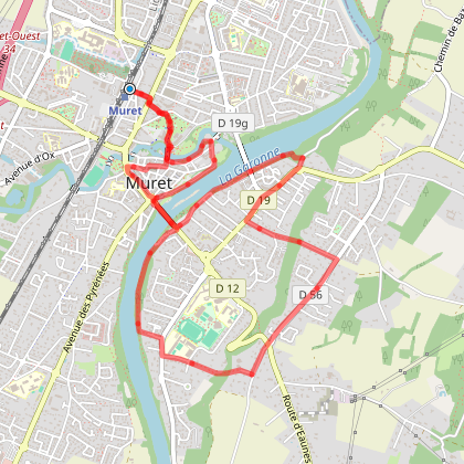
Muret
8,2 km
Walking
LE TOUR DE LAC DE SAINTE-FOY-DE-PEYROLIERES
LE TOUR DE LAC DE SAINTE-FOY-DE-PEYROLIERES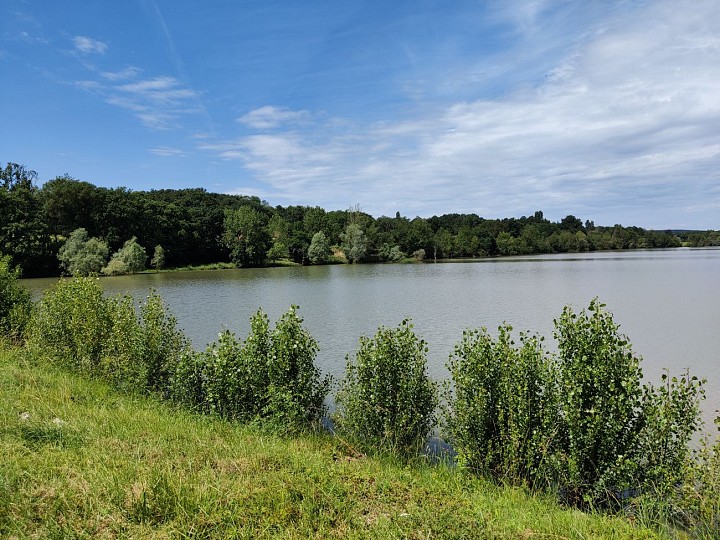
Sainte-Foy-de-Peyrolières
4,7 km
Walking Mountain bike Horse
FLOW TRAIL D'INITATION DU COL DE LARRIEU - N°54
FLOW TRAIL D'INITATION DU COL DE LARRIEU - N°54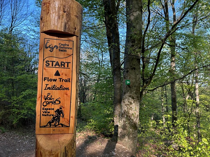
Chein-Dessus
957 m
Mountain bike
SENTIER EQUESTRE : ARBAS - CHEIN-DESSUS - ARBAS
SENTIER EQUESTRE : ARBAS - CHEIN-DESSUS - ARBAS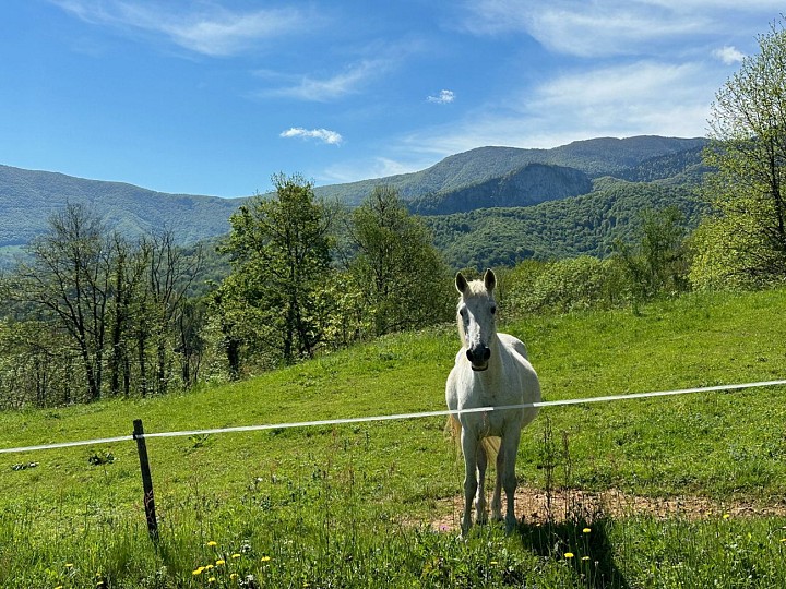
Arbas
20,4 km
Horse
SENTIER ÉQUESTRE : ASPET - SENGOUAGNET- ASPET
SENTIER ÉQUESTRE : ASPET - SENGOUAGNET- ASPET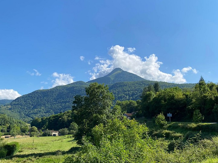
Aspet
20,8 km
Horse
SENTIER ÉQUESTRE : ASPET - SOUEICH - ASPET
SENTIER ÉQUESTRE : ASPET - SOUEICH - ASPET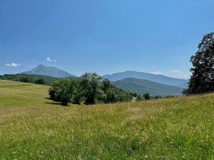
Aspet
17,9 km
Horse
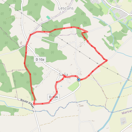
DU LIT DE SAINT-VIDIAN A LA TABLE D'ORIENTATION
DU LIT DE SAINT-VIDIAN A LA TABLE D'ORIENTATION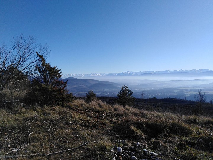
Martres-Tolosane
13,0 km
Walking Mountain bike Horse